Sille uses InSAR satellites
Sille uses European Space Agency Interferometric synthetic aperture radar (InSAR) satelite Sentinel-1 to gather information.
What is InSAR?
InSar is powerful remote sensing method that allow measure mm scale movements in well reflecting (coherent) surfaces. The measurements base interferometric phase analyze that has widely known other Physical disciplines. The Space based InSar analyses relay Satellite SAR (Synthetic Aperture Radar) phase images. The Satellite revisit area over a period of time. Stack those phase images timely then it’s possible to get information of movements in client interested area. Read more
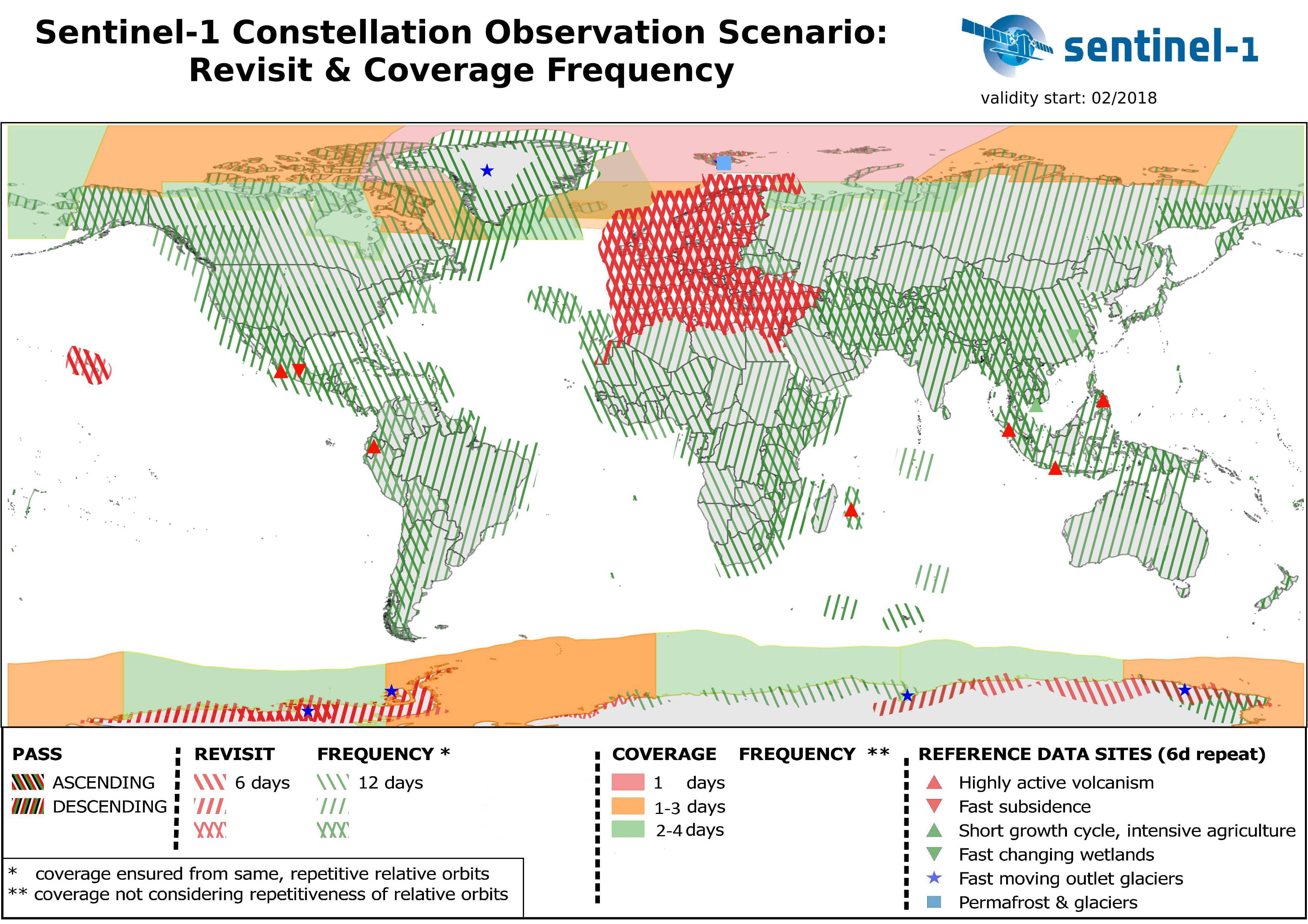
Flight-schedule of satellites and data coverage
While one satellite can orbit the Earth in 12 days, both satellites operating together provide a 6-day repeat cycle. 6-day reapeat cycle applies to Europe, most other parts of the world there is 12-day cycle in our analyses.
What objects can be succesfully monitored with SAR?
SAR can be used to monitor objects that have good reflection. Usually these are buildings, railroads, bridges, bare land, rocks, docks, piers, dams and other human built objects. Bare slopes can be also monitored for falling rocks and landslides, as well as landslides. The ideal objects to monitor using SAR include a rough surface, like concrete, rock, or metal, and have many corners, which reflect very well. However, objects made from wood or other non-reflective surfaces are not ideal for SAR to monitor.
Differences between LiDAR and SAR
LiDAR SAR Weather dependent (blocked by cloud coverage) Continuous coverage (see through clouds) Extremely high-resolution data al...
Read moreOutput of the application
Satellite line-of-sight
Basic displacement information provided by the service is the satellite line-of-sight (LOS), with projected to ground geometry and quality measures pe...
Read moreMethodology
SAR
The main source of information for deriving ground motion data are Synthetic Aperture Radar (SAR) data from the ESA Copernicus Sentinel-1 mission. Th...
Read moreThe Data
Sentinel 1
Sentinel-1 routinely collects data in three modes: Interferometric Wide Swath (IW), Extra Wide Swath (EW) and Wave (WV). The latter two are used for m...
Read moreHistory
About InSAR
Synthetic Aperture Radar Interferometry (InSAR) is the main technology for space based ground motion measurement. It has been in use for more than 25 ...
Read moreApplication
Data Delivery
This service offers analyzed data in powerful yet simple to operate visual mapping application. SILLE enables data analytics, comparison, reporting an...
Read moreSille uses InSAR satellites
Sille uses European Space Agency Interferometric synthetic aperture radar (InSAR) satelite Sentinel-1 to gather information. What is InSAR? InSar is...
Read more